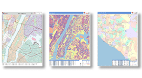
Satellite Maps
- Clear Satellite Imagery.
- All formats, Printed, Digital,
Wall, Report, & Book.
- Free Shipping. Fast Delivery.

Wall Maps
2x3 to 9x12 feet,
Laminated, Mounted and more
Gain the Advantage of a Satellite View
Our clients use satellite maps for many different things in a variety of industries. Our clear satellite imagery allows
us to create quality satellite maps of anywhere in the world - from nationwide to neighborhood.
The Details & Data You Need
-
Overlay roads, highways, geographic boundaries and labels
for counties, cities and ZIP Codes or even your own
territories or market areas
-
Plot business locations using their logos
-
Add radius rings and drive time polygons
-
Display traffic counts, business counts, demographics,
sales data and more
Satellite Map Solutions
for Your Business
- View existing, and plan for future, developments
and shopping centers
- Get an overview of land use including farms
- Scout neighborhoods for target customers for roofing
- Tracking operations in the oil and gas industry
- Plan out future subway transit or roadways
Need a State or County Satellite Map?
Order Your Maps Online!
Talk to us about Satellite Maps Today!
Available as FAST as SAME DAY!
Talk to a Map Specialist:
1-888-434-6277
 On Target. On Time.
The maps you need,
when you need them
 Maps of Everywhere
From World to National to Local
This website uses cookies to ensure you get the best experience.